
- Story
- Rivers▼
- RiversMa Wat River+Lower Lam Tsuen River+Ping Yuen River+Ho Chung River Main+Ngong Ping Stream+Pak Ngan Heung Stream+Ma Tso Lung Stream+Tong Fuk River+Deep Water Bay Stream+Ngau Tam Mei Channel+Yuen Long Bypass Floodway+Kam Tin River South+Ping Kong Stream+Cheung Po Stream+Tung Chung Stream (eastern tributary)+Wong Lung Hang Channel+Tai Tei Tong Stream+Shek Kong Stream+Ho Pui Channel+Sai Kung River+Fo Tan Nullah+Pui O River+Hung Shui Kiu Channel+Kai Tak River+Tsui Ping River+Jordan Valley Channel+
- Feature Rivers▼
- Feature Rivers
- Species▼
- Search
- Contact Us
-

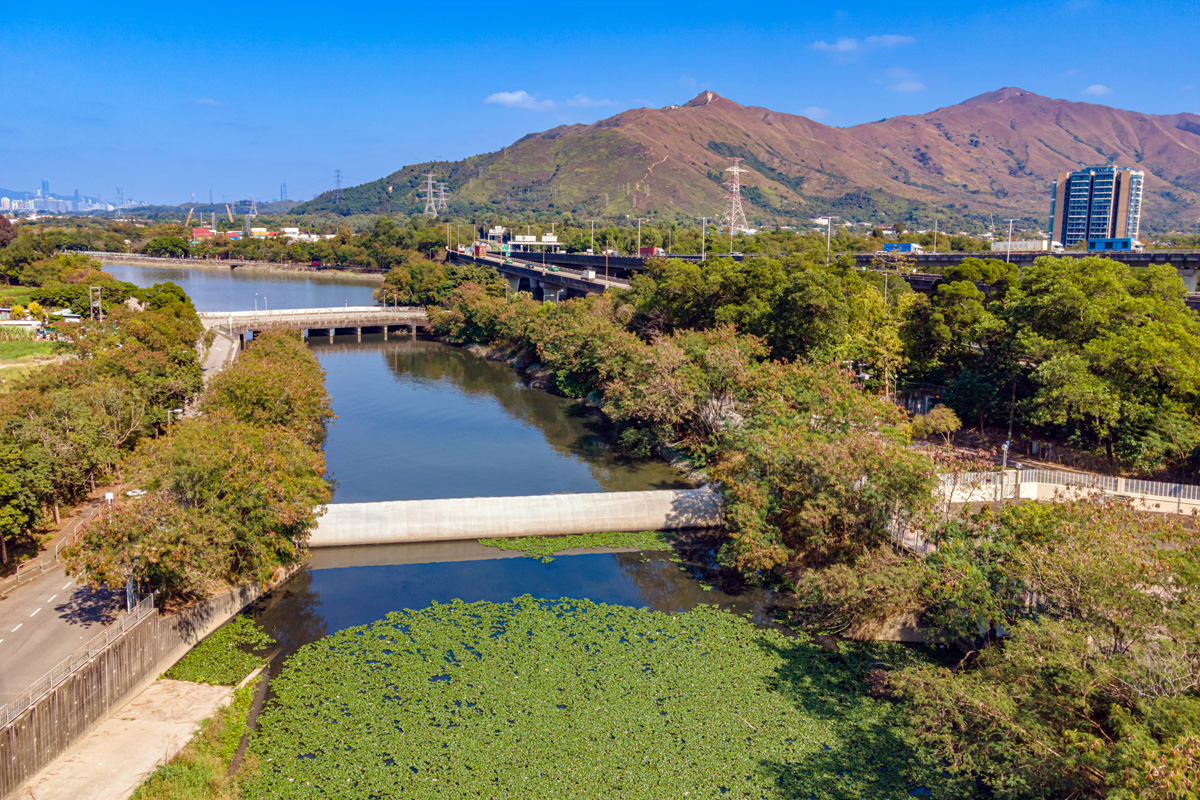
Yuen Long Bypass Floodway
Yuen Long Bypass Floodway was constructed to mitigate flooding in Yuen Long Town and its peripheral village areas. Yuen Long Bypass Floodway is a 3.8 km long large drainage channel built at the South of Yuen Long Town to intercept 40% of the runoff in the Yuen Long catchment. The intercepted flow is diverted to the downstream of Kam Tin River and then discharged to Deep Bay. This engineering solution is cost-effective and can avoid major drainage improvement works in Yuen Long Town, and hence the disruption to the traffic and living of Yuen Long residents.
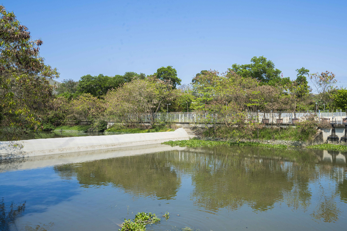
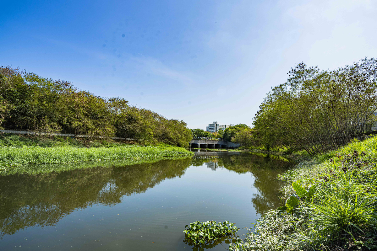
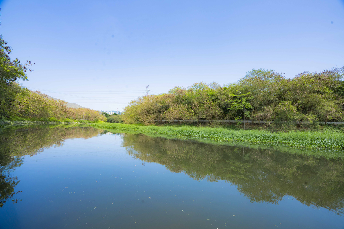
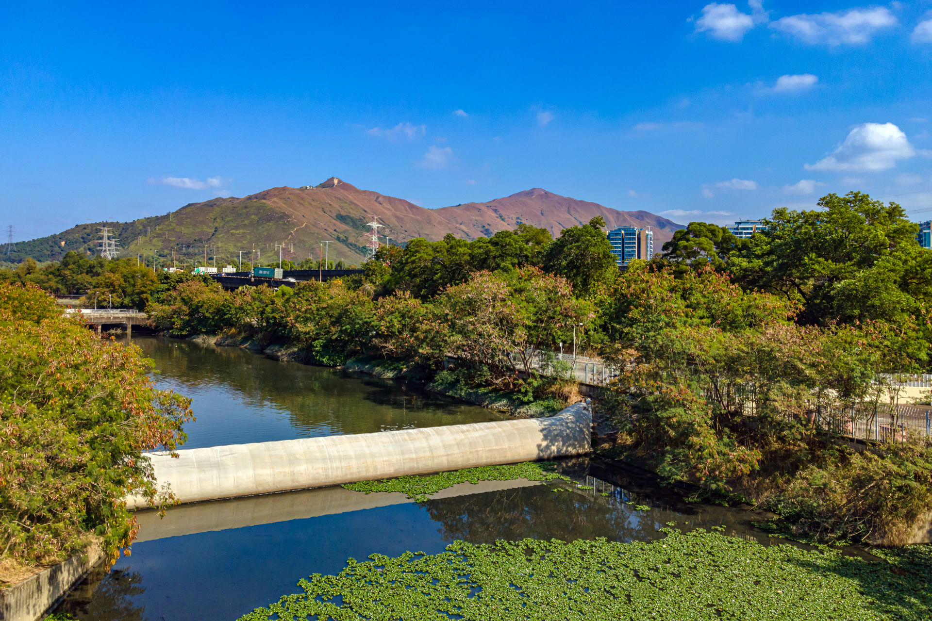
The Bypass Floodway has incorporated a series of environmental designs. Its flow is not carried straight to the sea but passing through different regimes including bends, shallow ponds and wetland. The channel bottom and slope are covered by different species of herbaceous plants to provide a natural riverbank with aesthetic and ecological value. A system of dry weather flow pumping station and inflatable dam is provided at the downstream end to control the water level in the Bypass Floodway and to prevent polluted water in the downstream from flowing back into the Bypass Floodway.
The construction of Yuen Long Bypass Floodway commenced in 2003 and was completed in 2006.
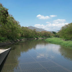
Upstream near Pok Oi Hospital
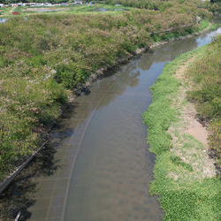
Downstream near the junction of Ho Chau Road and Nam Sang Wai Road
Recommended Spot
Inflatable dam
Traffic Route
Ho Chau Road
20 minutes walk from MTR Yuen Long Station to Ho Chau Road