

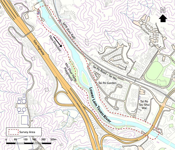
Lower Lam Tsuen River
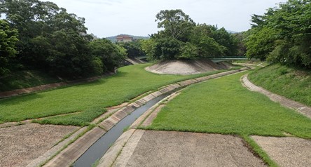
Lower Lam Tsuen River is located at Tai Po. It drains water from the Lam Tsuen Valley, and then flows eastward into Tolo Harbour. The channelized river comprises of grassed cellular concrete river bed and tree islands. DSD started an ecological enhancement site trial in the section near Mui Shue Hang Playground in late 2015. The details of the site trial are presented in the Site Trial section.
Select to display each habitat area within the SURVEY AREA
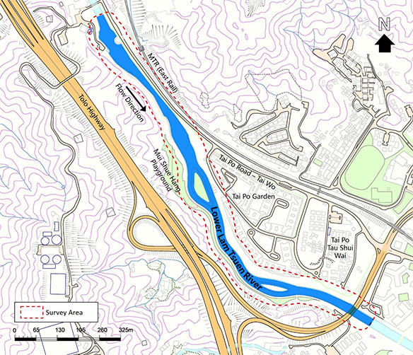
 Stream/Channel
 Pond/Fish Pond
 Woodland
 Shrubland
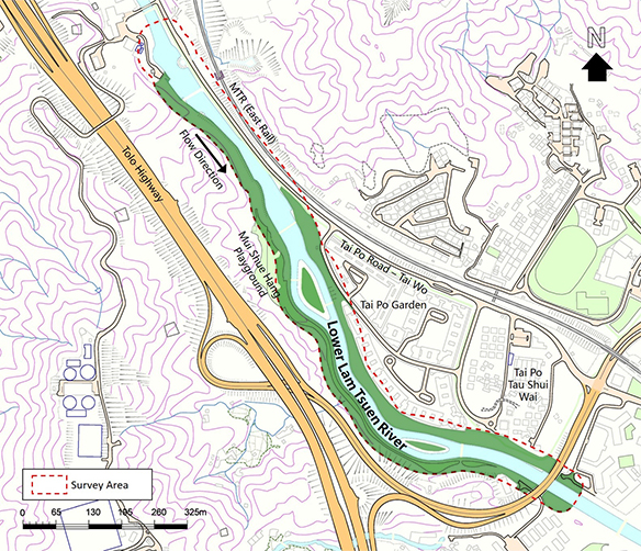
 Wooded Area
 Marsh/Wetland
 Grass Cover
 Agricultural Land
 Orchard
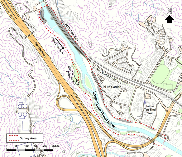
 Developed Area
 Open Field/Wasteland
Lower Lam Tsuen River
(Information updated in 2017)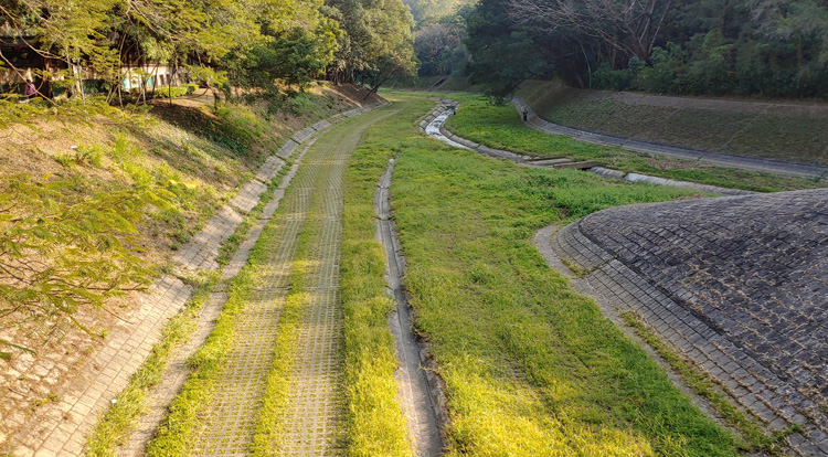
Lower Lam Tsuen River is located at Tai Po. It drains water from the Lam Tsuen Valley, and then flows eastward into Tolo Harbour. The channelized river comprises of grassed cellular concrete river bed and tree islands. DSD started an ecological enhancement site trial in the section near Mui Shue Hang Playground in late 2015. The details of the site trial are presented in the Site Trial section.
Lower Lam Tsuen River
| Stream/Channel |
The watercourse is concrete-lined with grassed cellular concrete and masonry embankment. Some sections of the river channel are also lined with grassed cellular concrete paving. The grassed cellular concrete panels are mainly covered by common vegetation and grass species. Herbs are established on the sediments deposited along the concrete bed of the channel.
Lower Lam Tsuen River
| Wooded Area |
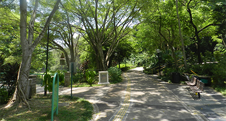
The river is surrounded by plantation, including the trees in Mui Shue Hang Playground and Mui Shue Hang roadside. Vegetation within the plantation area includes common tree and shrubs. A small plantation area is located at the northern part of the boundary with both native and exotic trees.
Lower Lam Tsuen River
| Developed Area |
Developed area comprises Tai Po Garden and Tai Po Road along the river. Vegetation found there are planted ornamental trees along roadside.
This website presents the information collected from 2012-2020 in the selected 25 river sections