
- Story
- Rivers▼
- RiversMa Wat River+Lower Lam Tsuen River+Ping Yuen River+Ho Chung River Main+Ngong Ping Stream+Pak Ngan Heung Stream+Ma Tso Lung Stream+Tong Fuk River+Deep Water Bay Stream+Ngau Tam Mei Channel+Yuen Long Bypass Floodway+Kam Tin River South+Ping Kong Stream+Cheung Po Stream+Tung Chung Stream (eastern tributary)+Wong Lung Hang Channel+Tai Tei Tong Stream+Shek Kong Stream+Ho Pui Channel+Sai Kung River+Fo Tan Nullah+Pui O River+Hung Shui Kiu Channel+Kai Tak River+Tsui Ping River+Jordan Valley Channel+
- Feature Rivers▼
- Feature Rivers
- Species▼
- Search
- Contact Us
-

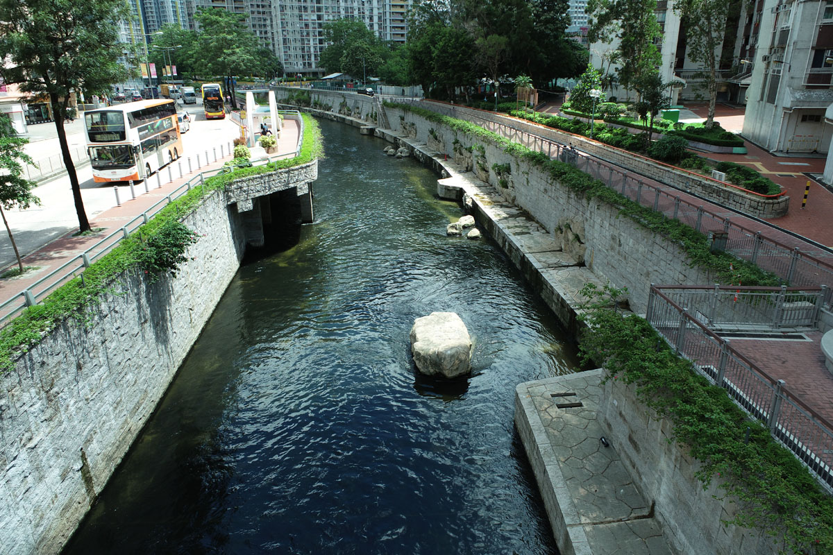
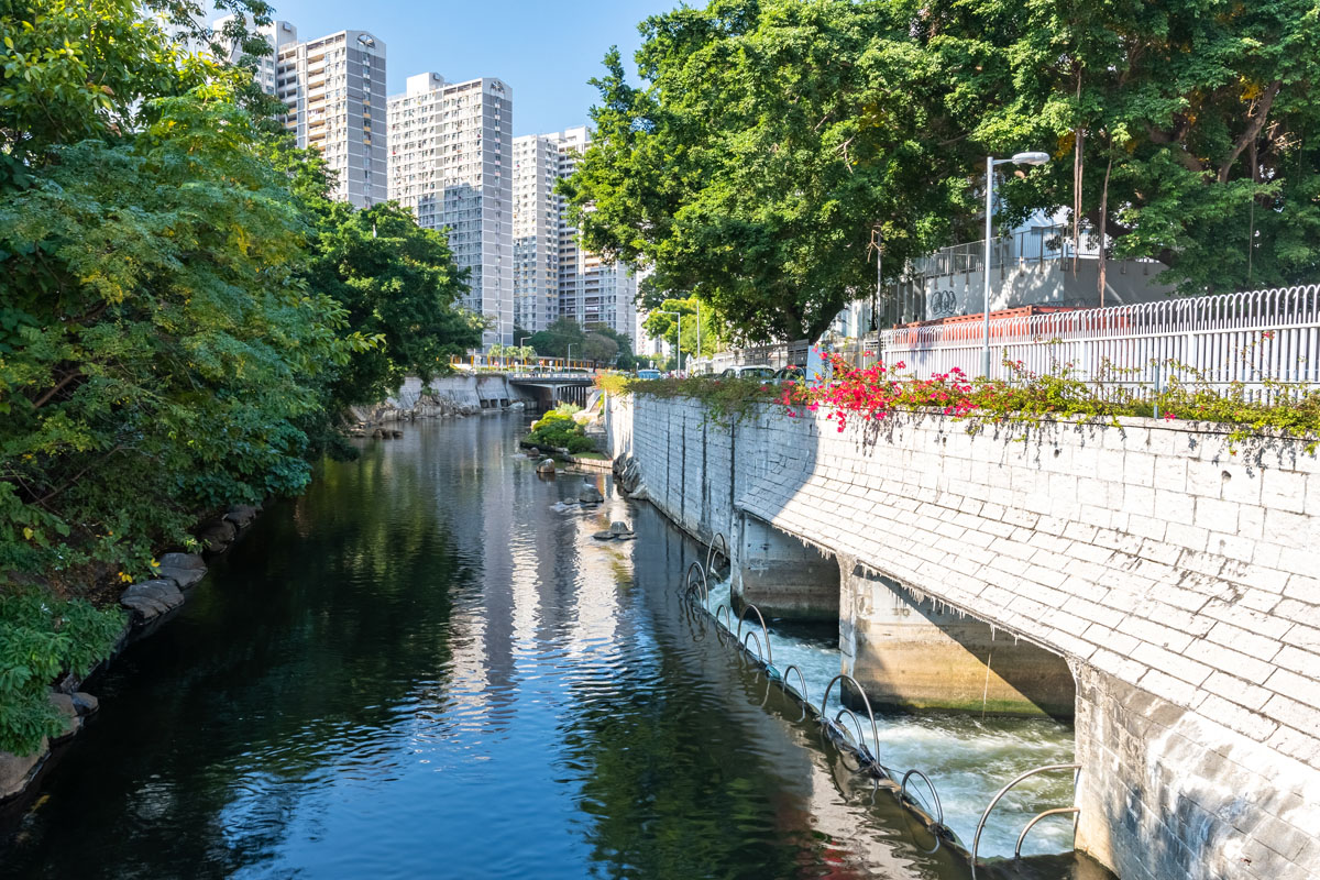
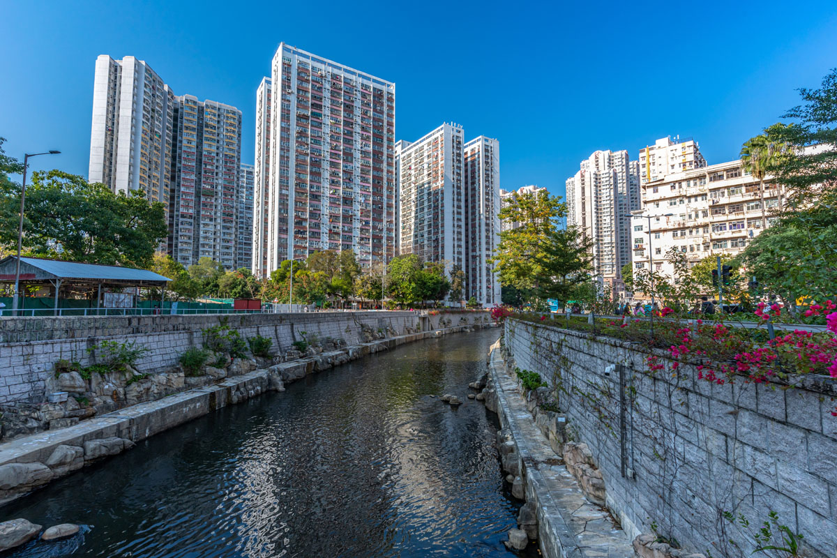
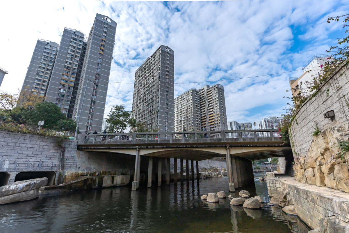
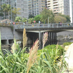
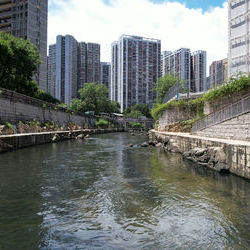
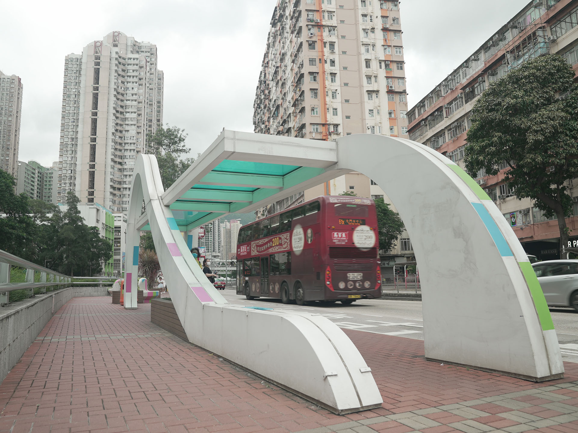
Kai Tak River
The 2.4 kilometres long Kai Tak River was previously known as Kai Tak Nullah and is one of the major drainage channels in East Kowloon. Due to urbanisation and extreme weather conditions, the drainage capacity of Kai Tak River could no longer meet the current flood protection standards. Serious flooding occurred in Choi Hung Road abutting Kai Tak River and affected Wong Tai Sin and San Po Kong during rainstorms.
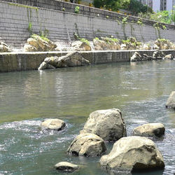
Through public engagement exercises before commencement of works, the DSD was able to conclude the design principles, with flood prevention as the priority focus, and surrendering the decking over option, replacing with the revitalisation of the Kai Tak River as an urban green river corridor.
The Kai Tak River Improvement Works commenced in 2011 and was completed in 2018.
Upstream (Po Kong Village Road to Tai Shing Street)
Downstream (near Lok Sin Road)
Recommended Spot
The sitting area beside Kai Tak River
Traffic Route
Choi Hung Road
10 minutes walk from MTR Wong Tai Sin Station