
San Tin Stormwater Pumping Station and Yuen Long Bypass Floodway
San Tin Stormwater Pumping Station and Yuen Long Bypass Floodway
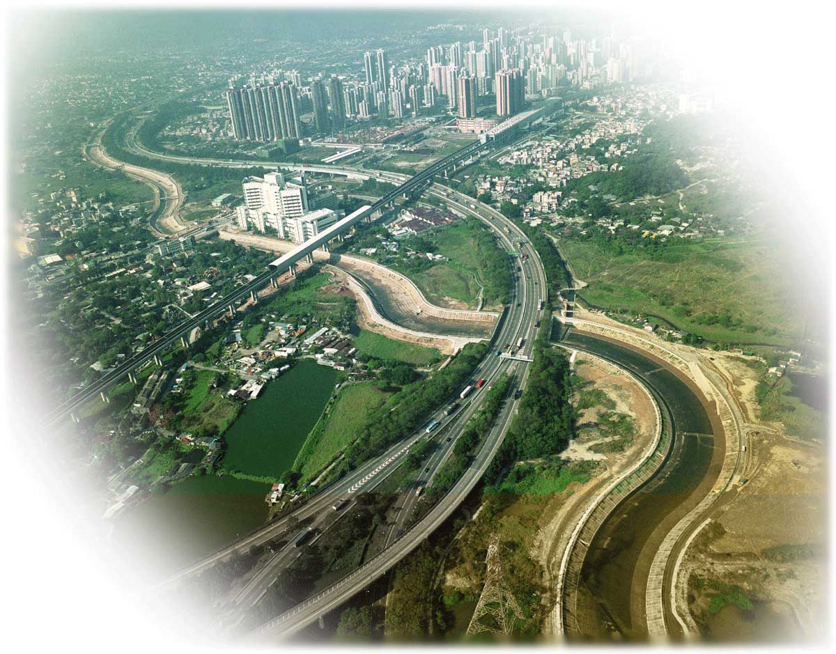
Yuen Long Bypass Floodway
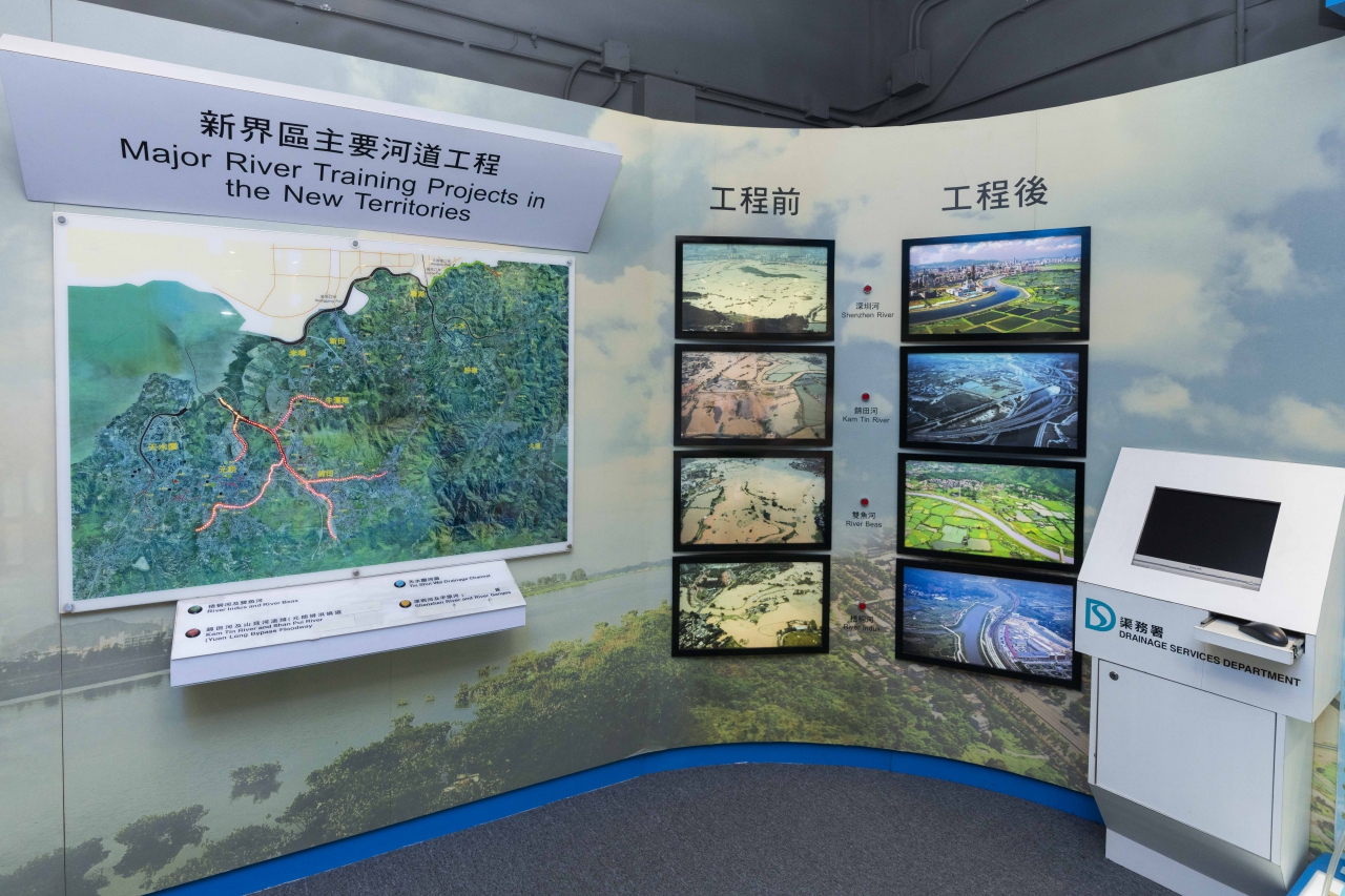
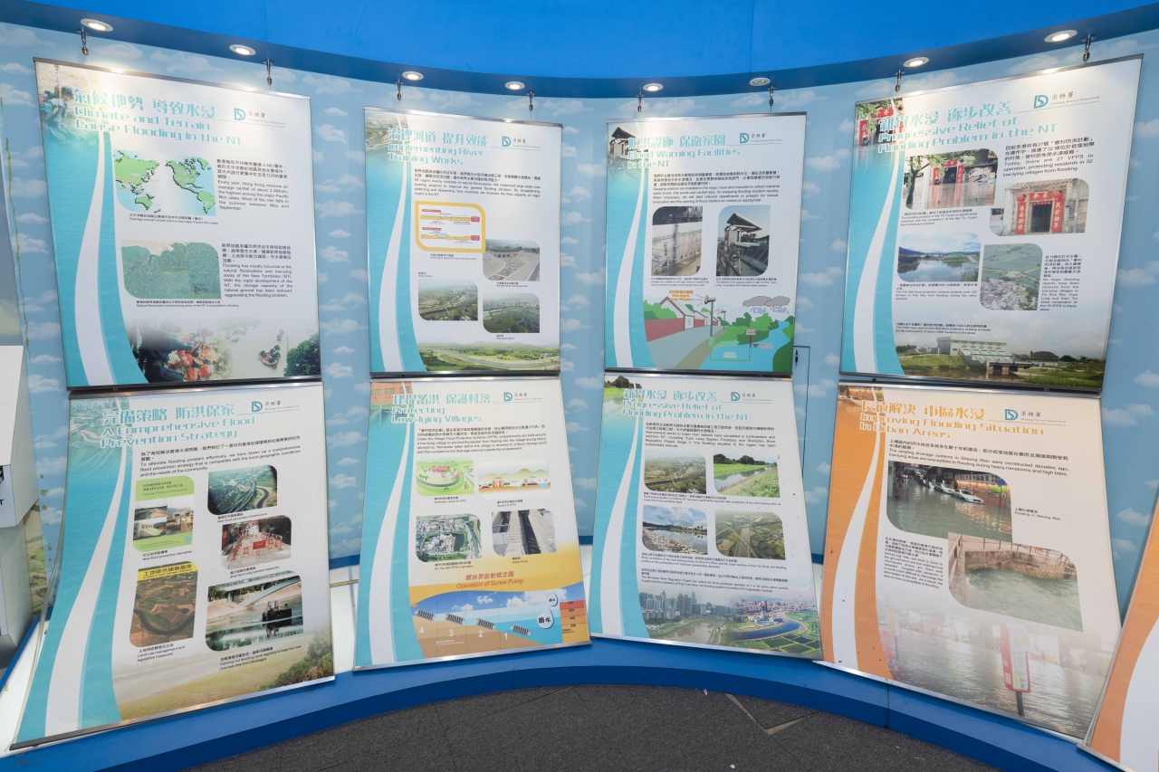
To mitigate the flooding problem in the Northwest New Territories, Drainage Services Department implemented a series of long-term improvement measures which mainly involved river training works in particular for the rivers, serving the flood-prone basins in the northern part of the New Territories, and also village flood protection schemes to protect low-lying villages.
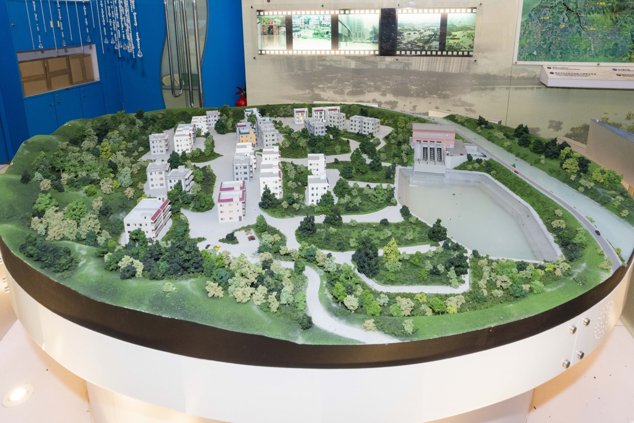
San Tin Flood Protection Scheme was completed in 1999, which involved the construction of an embankment with stormwater pumping station around low-lying villages. The embankment prevents stormwater from entering the villages during heavy rainstorms. Stormwater collected within the villages is diverted to flood storage pond and then pumped to the drainage channels outside the embankment by the stormwater pumping station. After the commissioning of the scheme, 7 low-lying villages including Tsing Lung Tsuen, Fan Tin Tsuen and On Lung Tsuen are effectively protected from flooding.
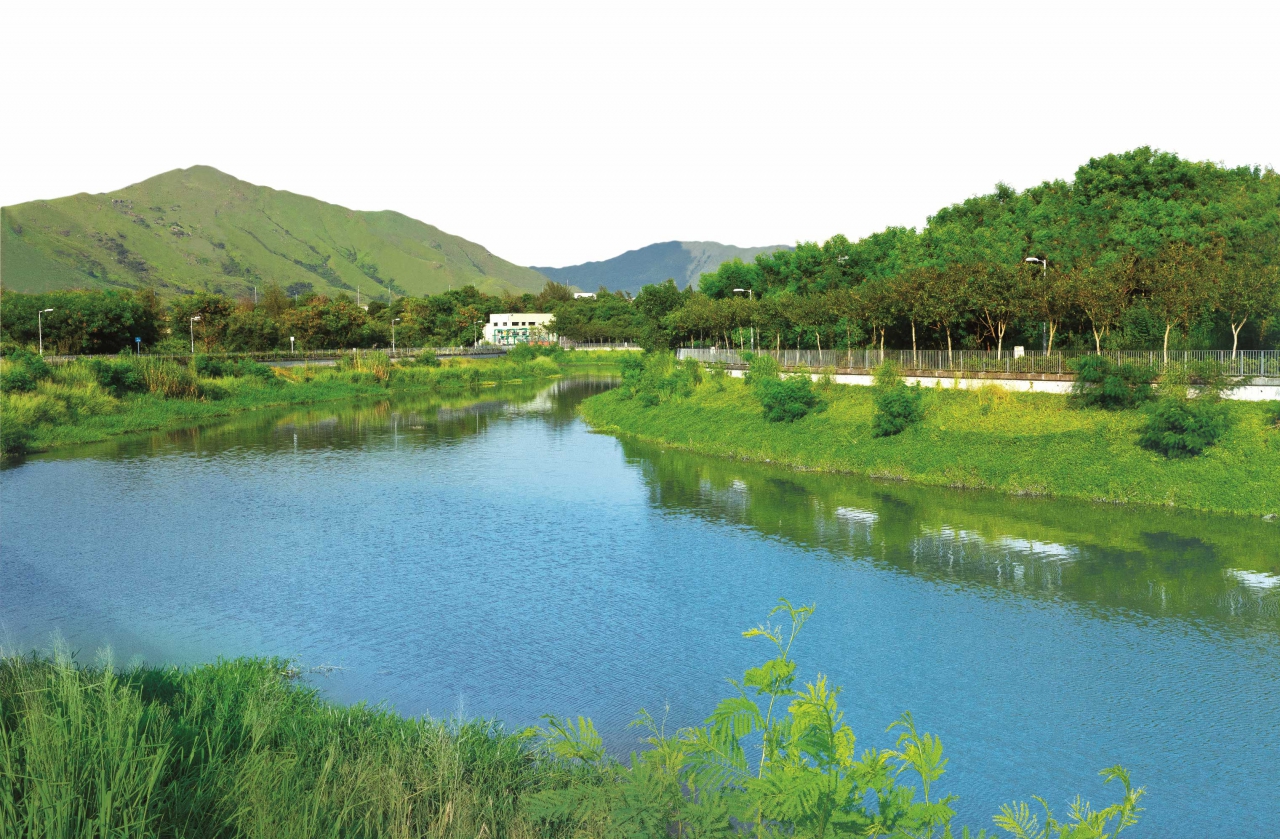
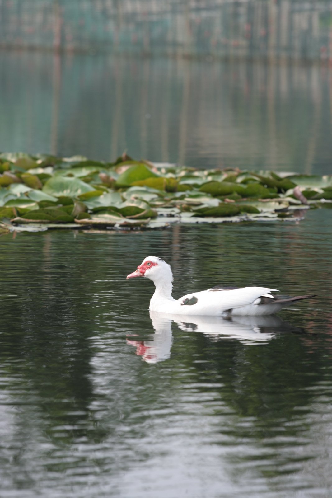
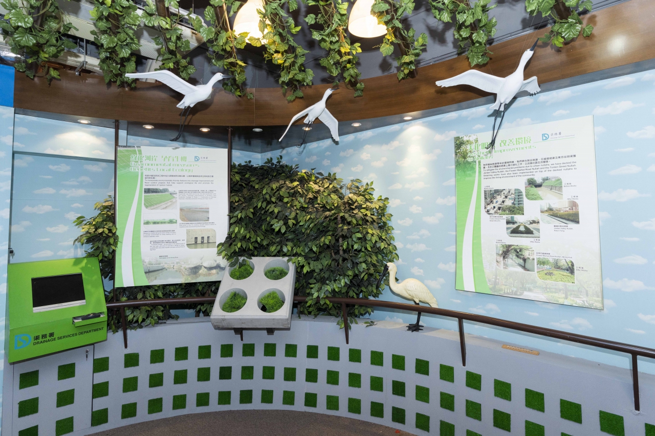
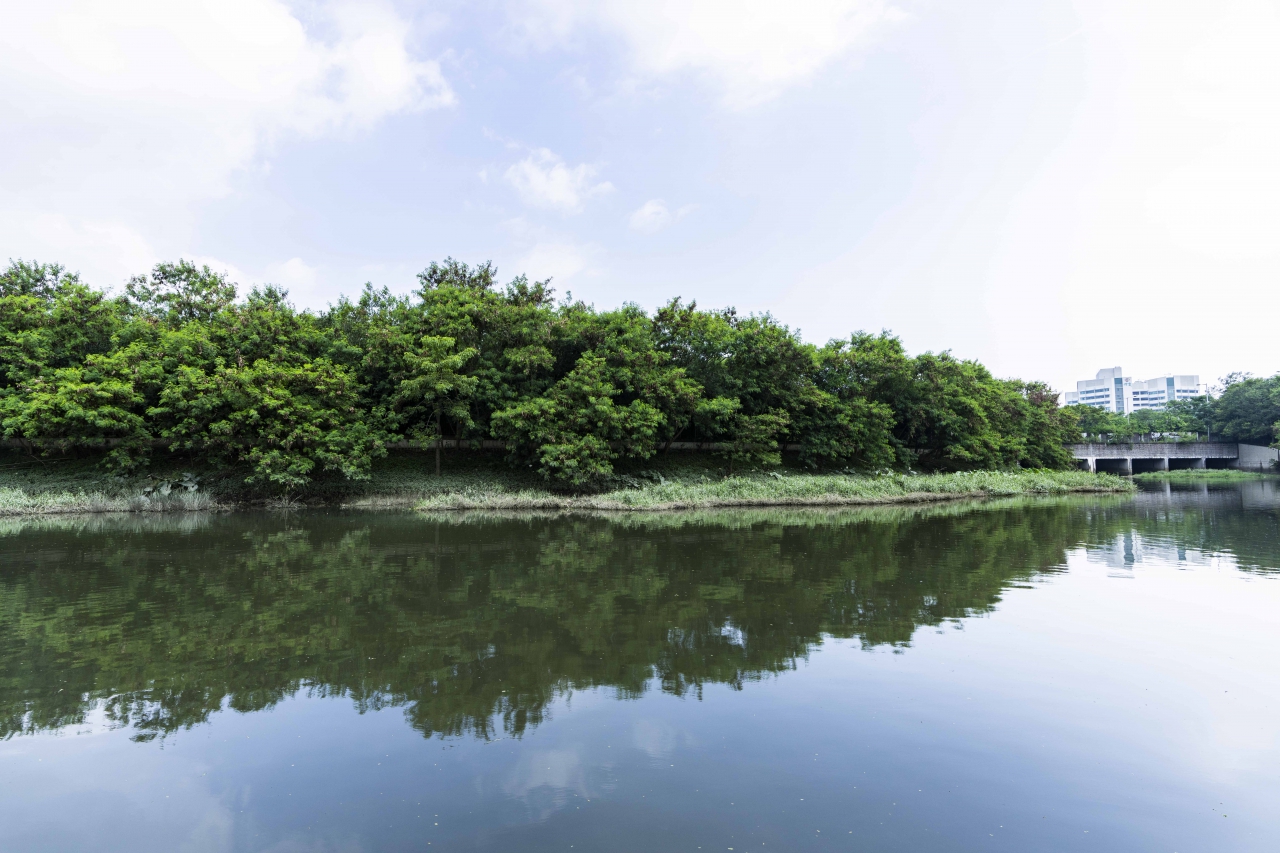
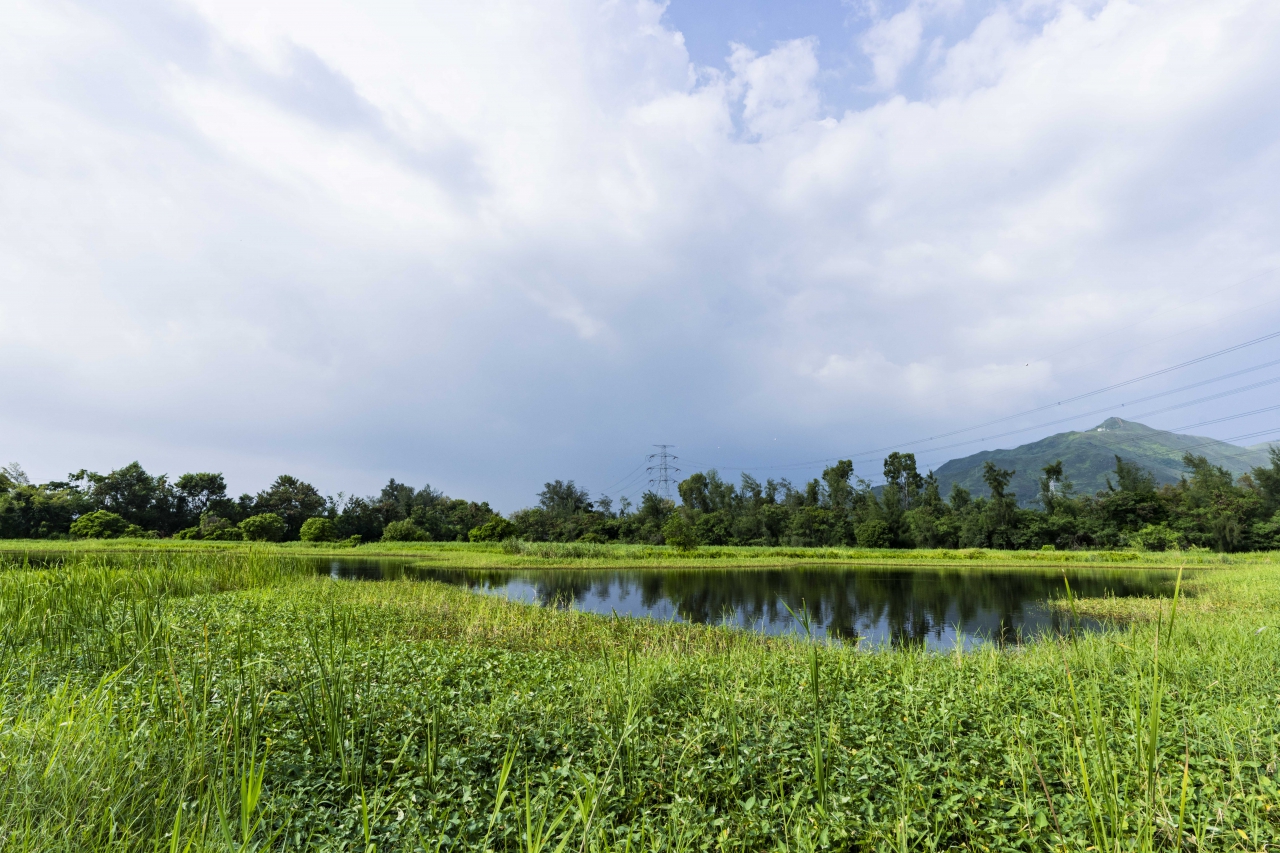
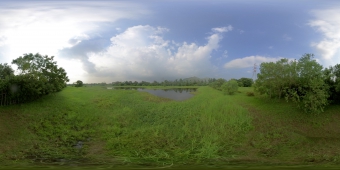
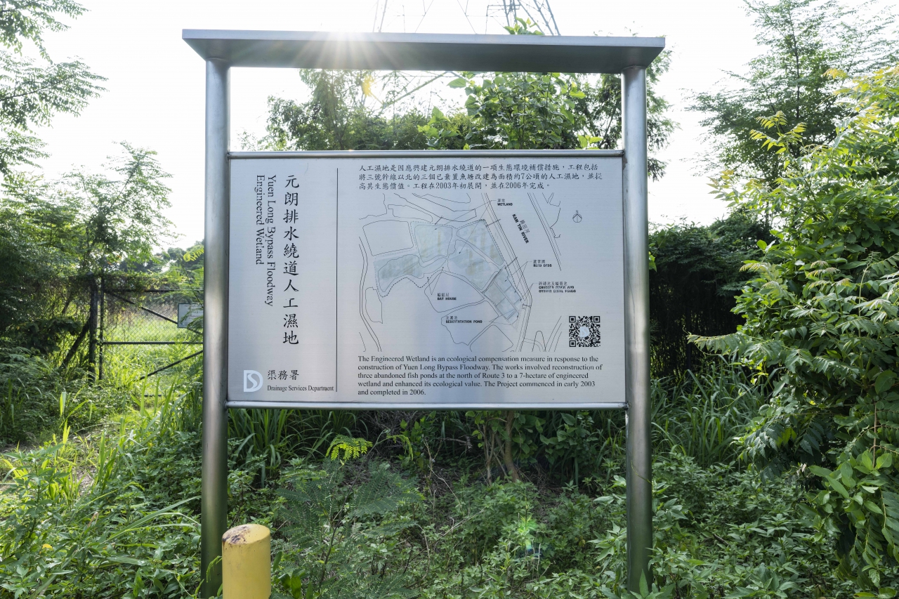
Different from the traditional river training works which increase the flow capacity of the rivers by straightening, widening and deepening the river channels, Yuen Long Bypass Floodway (YLBF) adopts the method of interception, intercepts 40% of the runoff in the Yuen Long Catchment, and then discharges the intercepted flow to the Deep Bay without passing through the Yuen Long Town, which reduces the flood risk of Yuen Long significantly. Environmental and ecological features have been incorporated in the design of the YLBF project. These environmentally friendly designs can help to harmonize the works with the surrounding and to preserve the natural habitat. An engineered wetland with an area of 70,000 square metres (equivalent to the size of 10 standard football fields) has been constructed. It provides a habitat for the wild birds, amphibians and insects, and enriches the ecological value of the district.
Engineered Wetland of Yuen Long Bypass Floodway
Engineered Wetland of Yuen Long Bypass Floodway
Engineered Wetland of Yuen Long Bypass Floodway
Engineered Wetland of Yuen Long Bypass Floodway
Kam Tin River
Nam Shan Wai Section of Kam Tin River
Village Flood Protection Scheme at San Tin, Yuen Long, completed in 1999
Completed in 1999, San Tin Flood Protection Scheme aims at reducing the flood risk of 7 low-lying villages including Tsing Lung Tsuen, Fan Tin Tsuen, On Lung Tsuen, San Lung Tsuen, Tung Chun Wai, Wing Ping Tsuen, and Yan Shau Wai.
Rainwater from villages is in general drained by gravity as overland flow or via surface channels to nearby stream courses. During heavy rainstorms, high water level in the downstream channel may cause stormwater difficult to be drained away or even resulted in backflow of stormwater into the villages, resulting in flooding, threatening the public safety and properties.
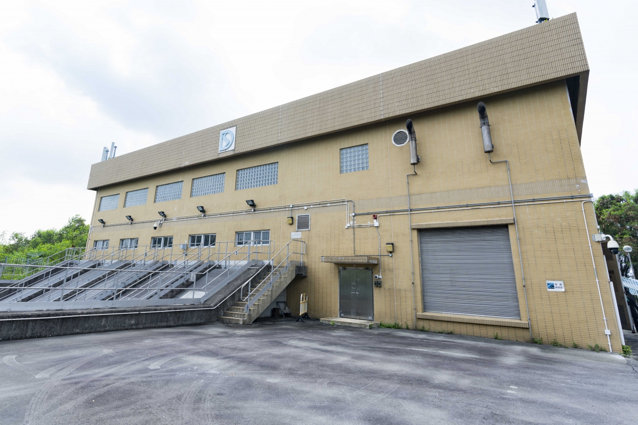
To solve the problem, San Tin Flood Protection Scheme constructs the embankment surrounding the villages to keep floodwater away from the village. A stormwater drainage system is also provided within the village area to collect and convey stormwater to a stormwater storage pond. When the water level in the pond reaches pre-determined levels, the pump in the stormwater pumping station will start automatically, water in the pond will be pumped to the adjacent channel outside the embankment. There are four duty water pumps and one standby water pump and each water pump can pump two cubic metres of stormwater per second.
To date, 27 flood protection schemes have been constructed protecting 38 low-lying villages.
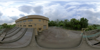
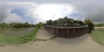
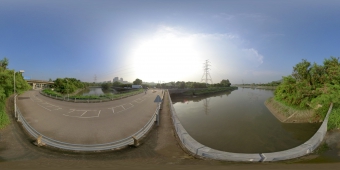
San Tin Stormwater Pumping Station (360° View)
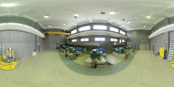
San Tin Stormwater Pumping Station (360° View)
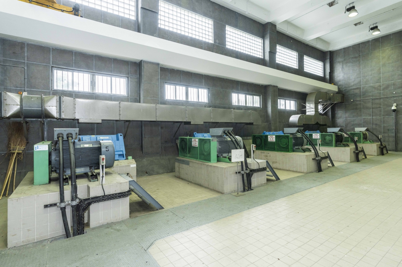
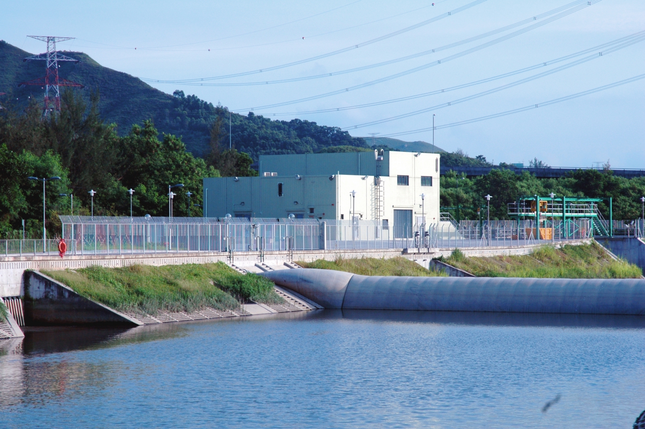
San Tin Stormwater Pumping Station
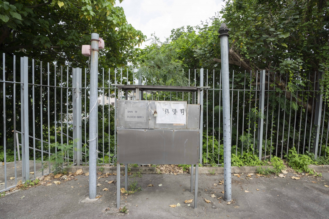
Flood Siren
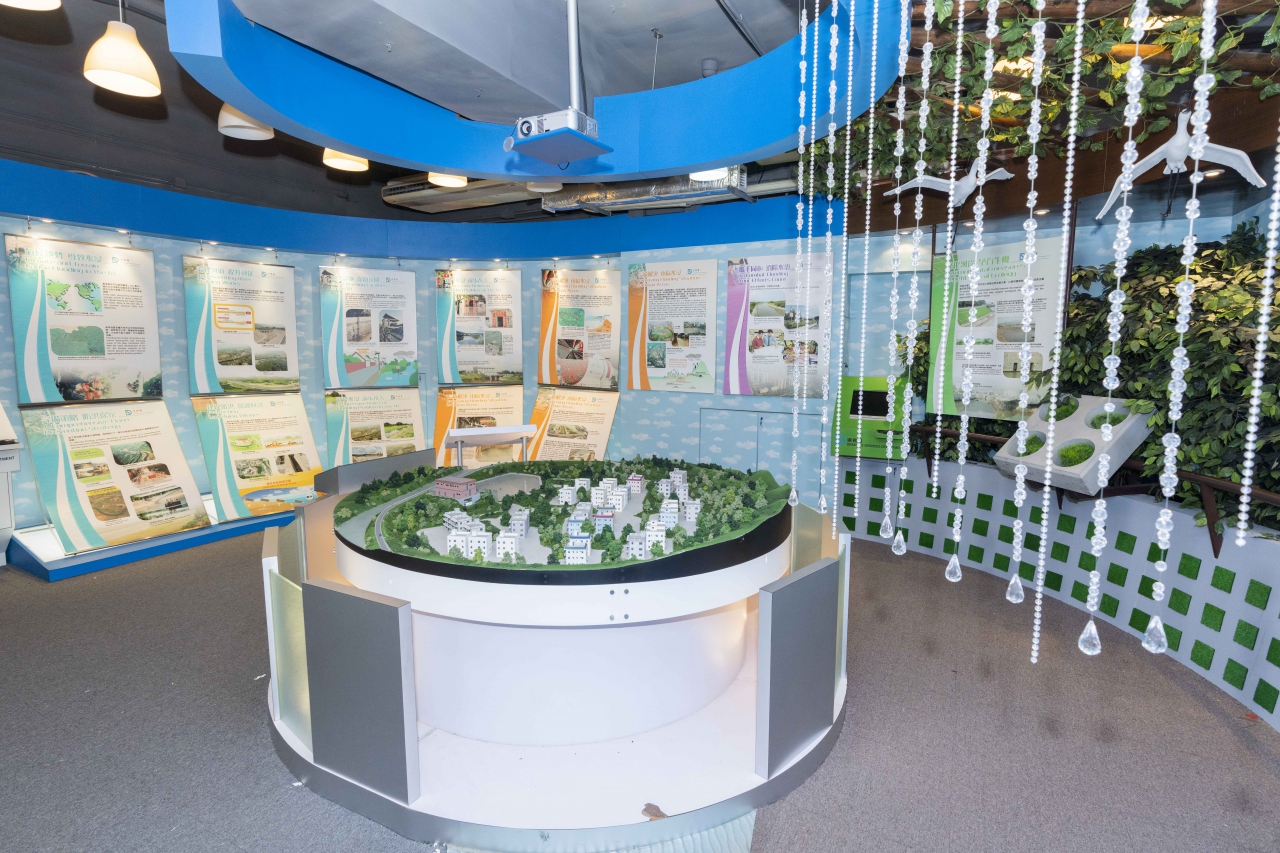
San Tin Flood Prevention Information Corner
San Tin Flood Prevention Information Corner in San Tin Stormwater Pumping Station provides scheduled guided tours for schools and community through a prior application. Through short videos, photos, display panels, physical model, computer animations and games, visitors can gain better understanding about Hong Kong’s history and causes of flooding and flood prevention strategies.
San Tin Flood Prevention Information Corner (360° View)

San Tin Flood Prevention Information Corner
San Tin Flood Prevention Information Corner
San Tin Flood Prevention Information Corner
San Tin Flood Prevention Information Corner
San Tin Flood Prevention Information Corner
Yuen Long Bypass Floodway
Yuen Long is situated in a low land. The rapid urbanization in the past decades has increased the floodwater flow. At the same time, the flood storage from flood plain and fish ponds has diminished. The existing Yuen Long Nullah built in the past is not able to cope with the increased flow. As a result, flooding can occur when there is heavy rainstorm.
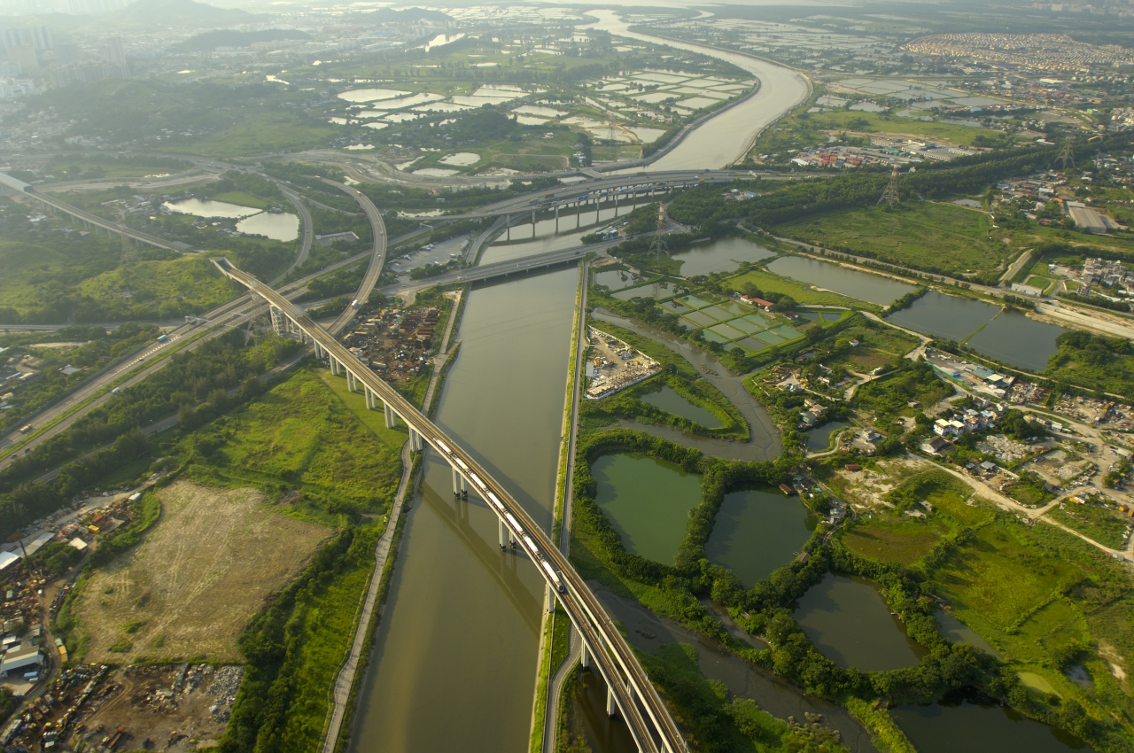
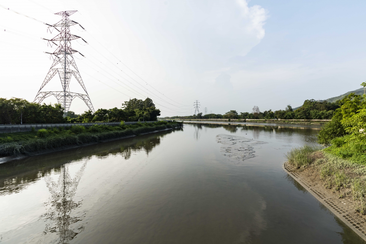
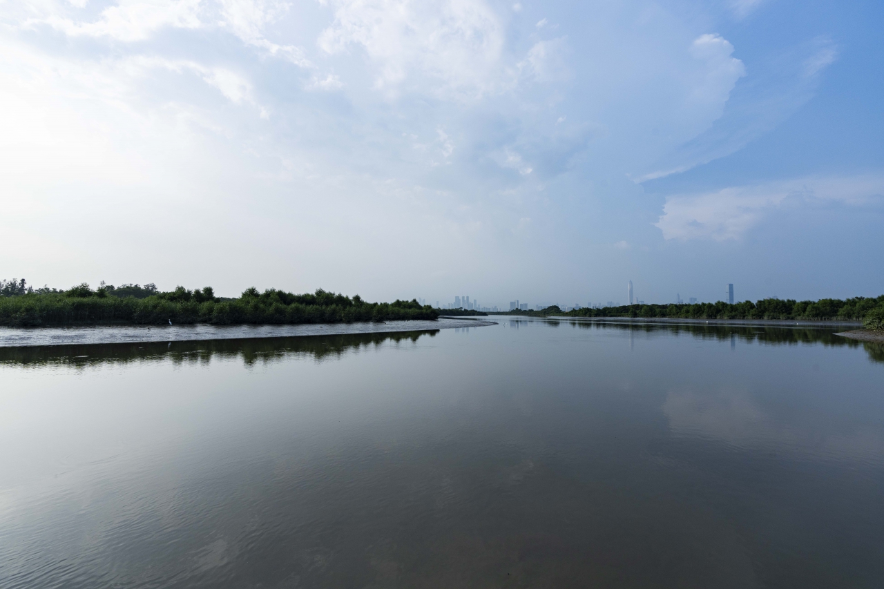
Yuen Long Bypass Floodway Project was commissioned in early 2003 and was completed in early 2006. The aim of the project is to mitigate flooding in Yuen Long Town and its peripheral village areas. Yuen Long Bypass Floodway is a 3.8 kilometres long large drainage channel built at the South of Yuen Long Town to intercept 40% of the runoff in the Yuen Long catchment. The intercepted flow is diverted to the downstream of Kam Tin River and then discharged to Deep Bay. This engineering solution is cost effective and can avoid major drainage improvement works in Yuen Long Town, and hence the disruption to the traffic and living of Yuen Long residents.
The Bypass Floodway has incorporated a series of environmental designs. Its flow is not carried straight to the sea but passing through different regimes including bends, shallow ponds and wetland. The channel bottom and slope are covered by different species of herbaceous plants to provide a natural riverbank with aesthetic and ecological value.
A system of dry weather flow pumping station and inflatable dam is provided at the downstream of the Bypass Floodway. Under normal weather, the inflatable dam would be inflated to prevent polluted water in the downstream from flowing back into the Bypass Floodway, while the dry weather flow in the upstream would be pumped into the downstream Kam Tin River. During heavy rainstorms, water level in the Bypass Floodway would rise when the upstream floodwater exceeded the pumping station capacity, the dam would then deflate automatically to discharge the floodwater into Kam Tin River to prevent flooding.
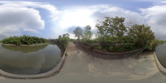
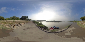
Yuen Long Bypass Floodway (360° View)
Yuen Long Bypass Floodway Shallow Ponds (360° View)
Yuen Long Bypass Floodway
Yuen Long Bypass Floodway Shallow Ponds
Yuen Long Bypass Floodway Shallow Ponds
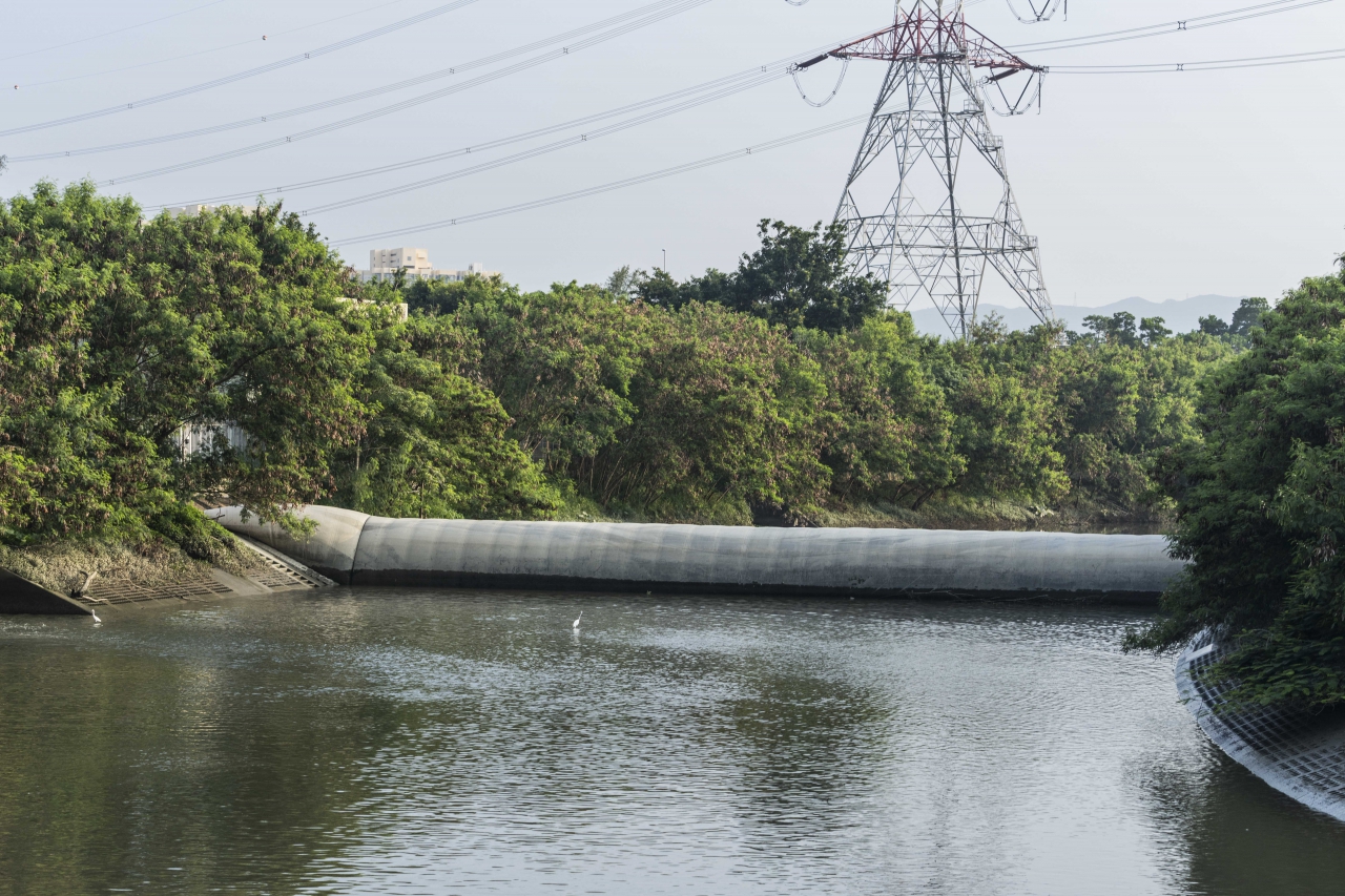
Yuen Long Bypass Floodway Inflatable Dam
Yuen Long Bypass Floodway Low Flow Pumping Station
Yuen Long Bypass Floodway Engineered Wetland
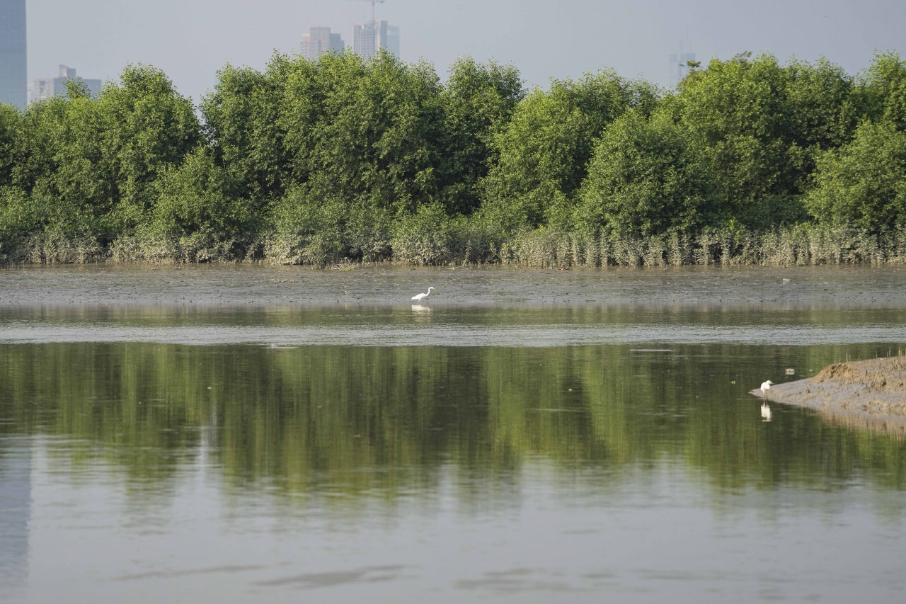
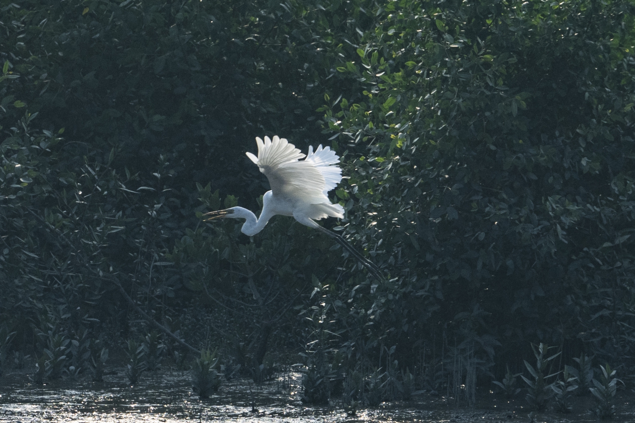
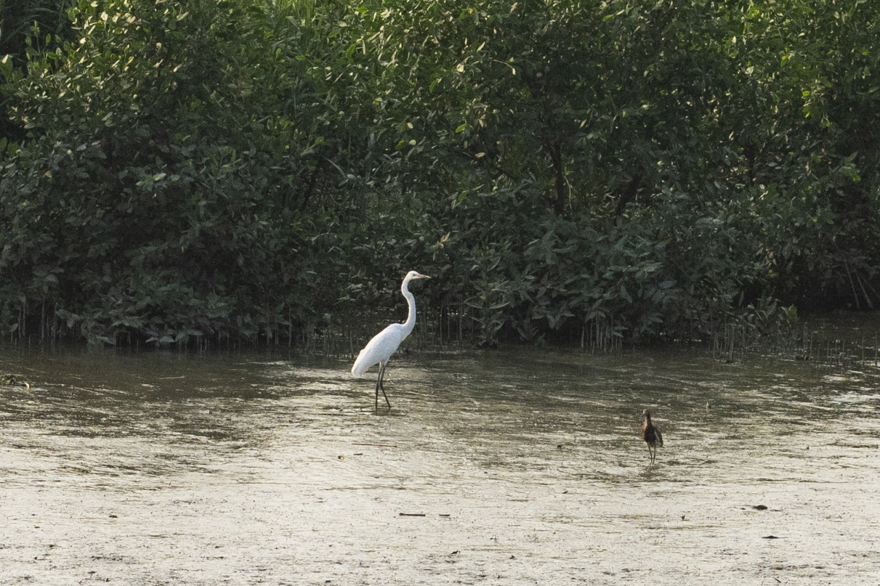
The project of Yuen Long Bypass Floodway includes the construction of a 7 hectares of engineered wetland near the downstream. Greening works carried out along the Bypass Floodway and in the engineered wetland include planting of 13,000 trees, 140,000 shrubs and 550,000 herbaceous plants.
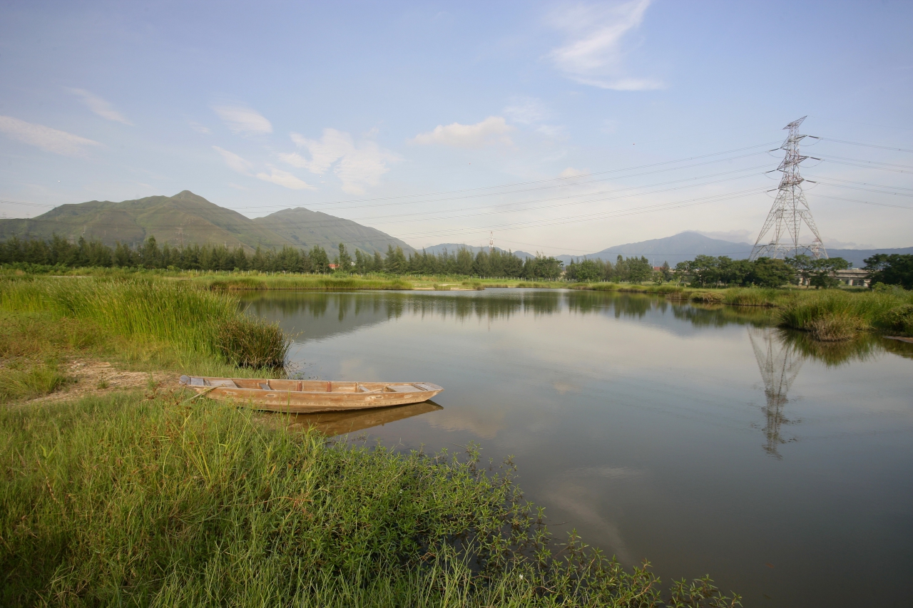
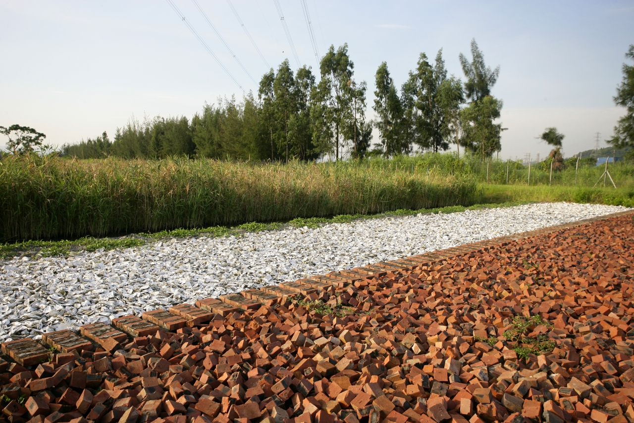
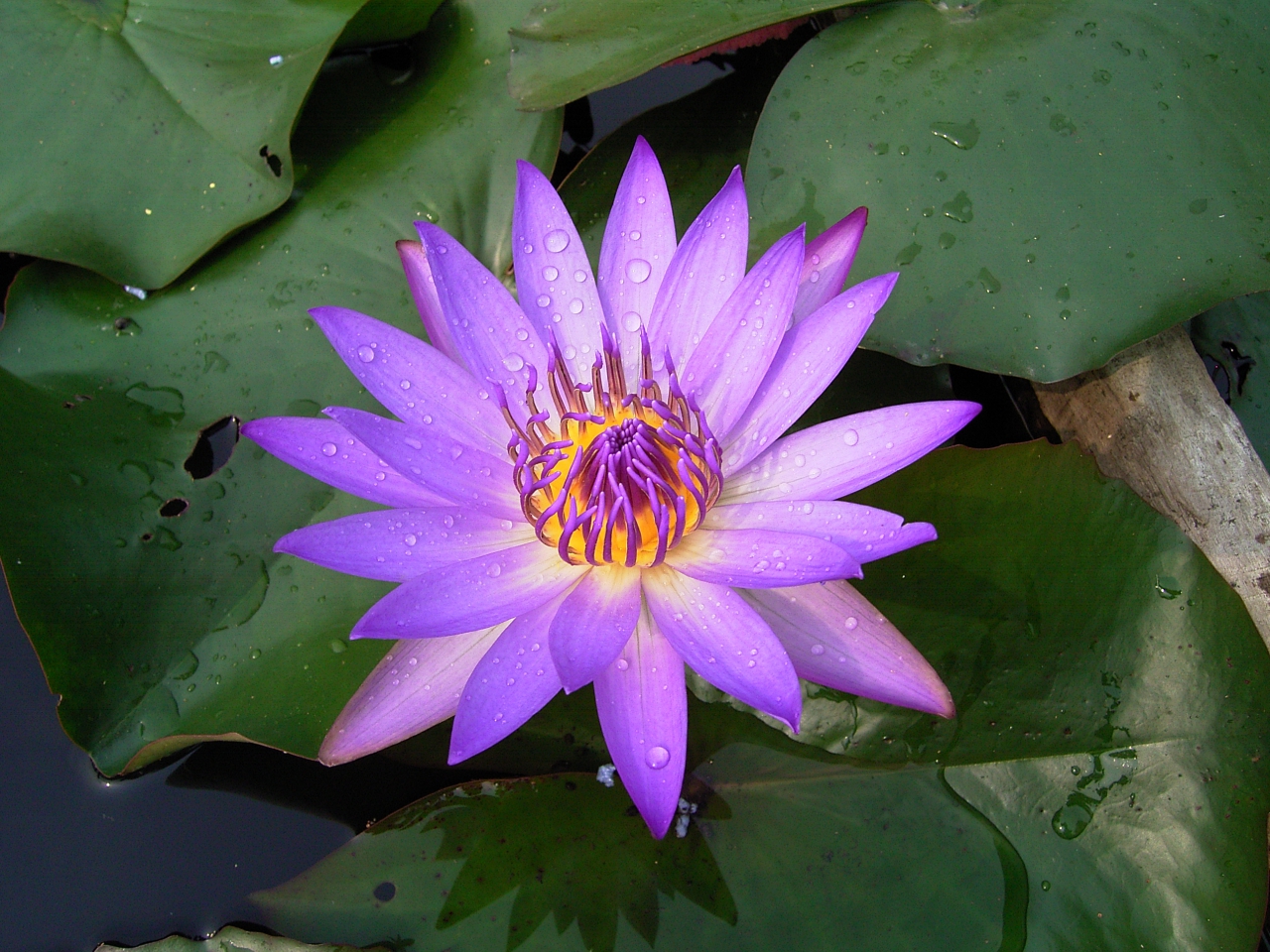
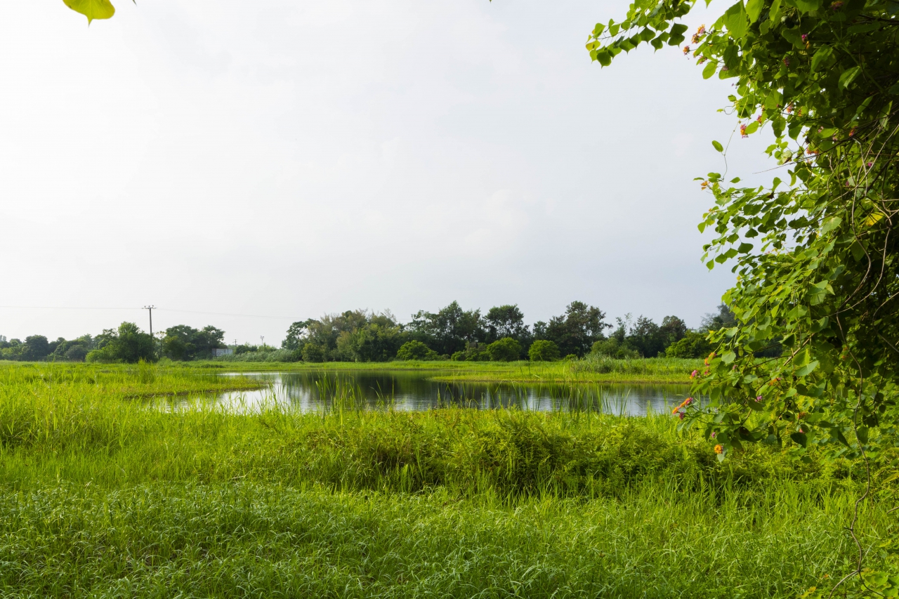
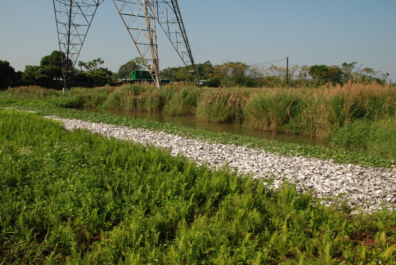
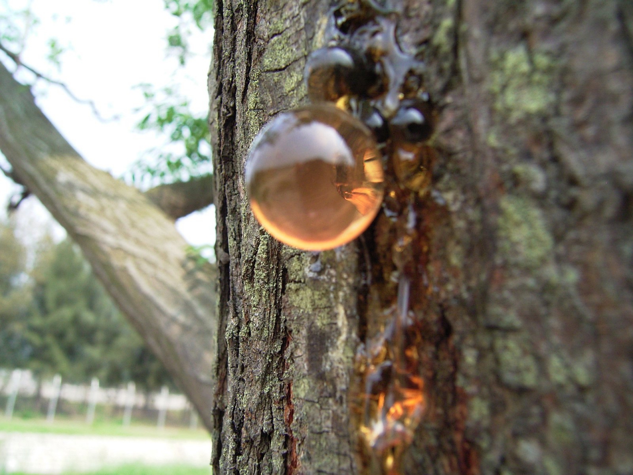
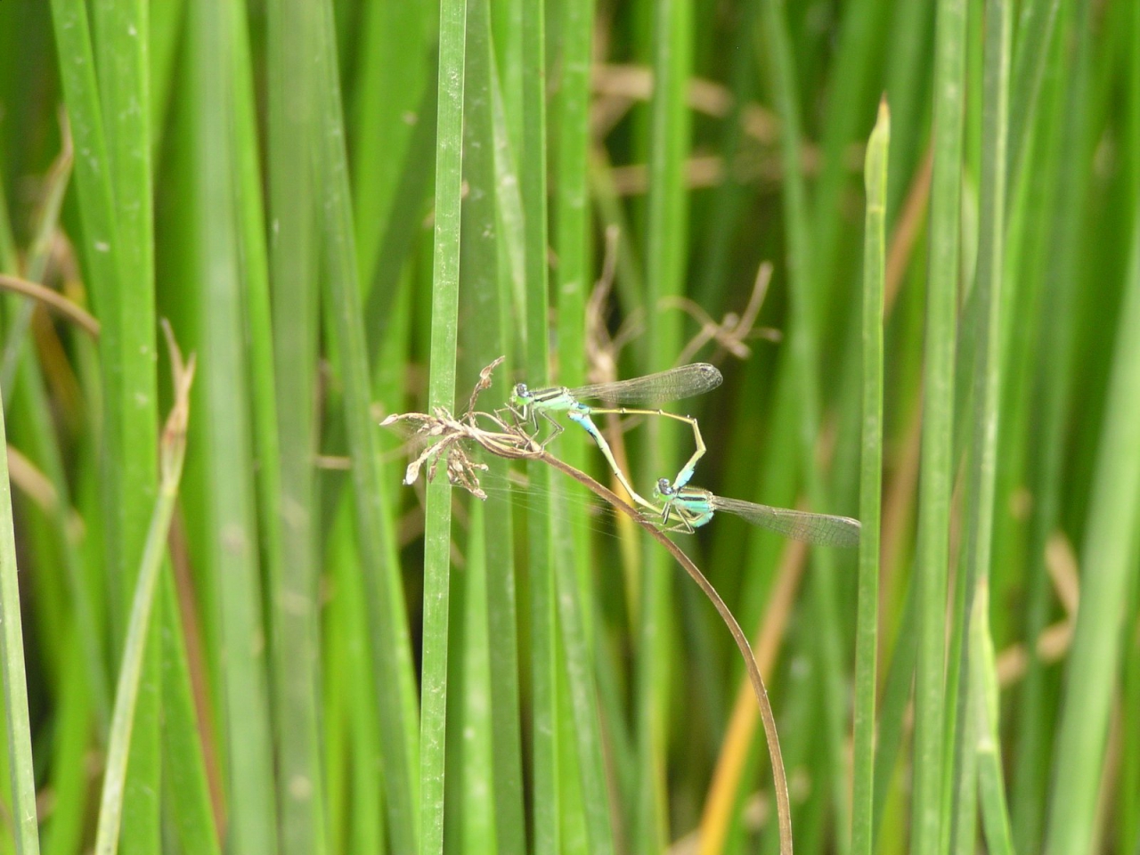
Yuen Long Bypass Floodway Engineered Wetland mainly consists of 3 main water ponds, a seasonal shallow pond and a permanent shallow pond. There are also crushed brick and oyster shell ponds, reed beds and a deep water pond within the wetland. The dry weather flow of the Bypass Floodway, after purified by passing through the oyster shells, crushed bricks and reed bed, flows into the engineered wetland to establish an ecologically enriched habitat for the wild birds, amphibians and dragonflies.
The engineered wetland has already developed into a sustainable ecological habitat after a one-year conservation period, and it was handed over to the Agriculture, Fisheries and Conservation Department in June 2006 for long-term professional management. Continuous monitoring has shown great biodiversity with over 130 plant species and various species of birds, frogs, insects and bats.
Yuen Long Bypass Floodway Engineered Wetland (360° View)
Yuen Long Bypass Floodway Engineered Wetland
Yuen Long Bypass Floodway Engineered Wetland
Yuen Long Bypass Floodway Engineered Wetland
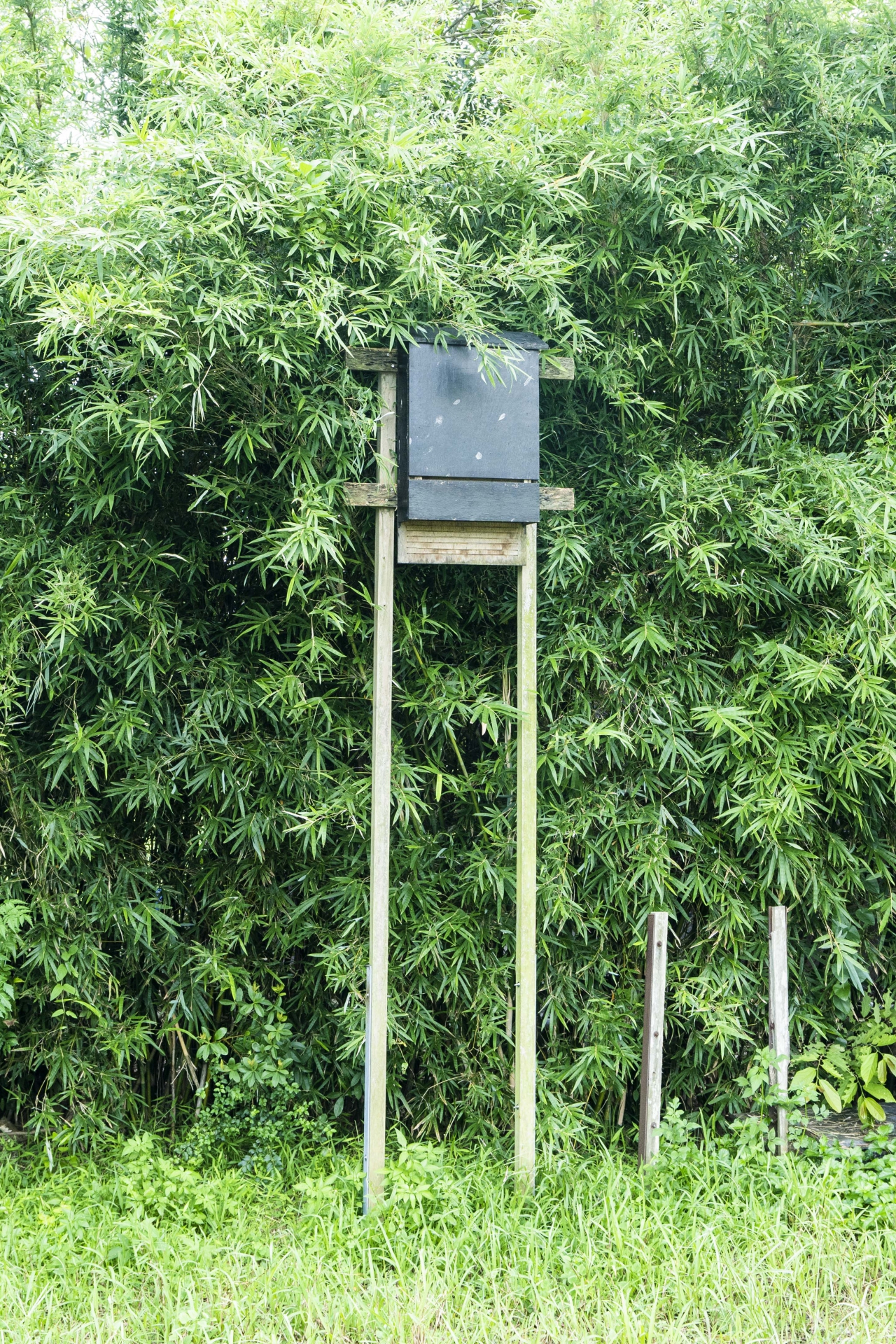
Bat House at Yuen Long Bypass Floodway Engineered Wetland

Yuen Long Bypass Floodway Engineered Wetland
Yuen Long Bypass Floodway Engineered Wetland
Yuen Long Bypass Floodway Engineered Wetland
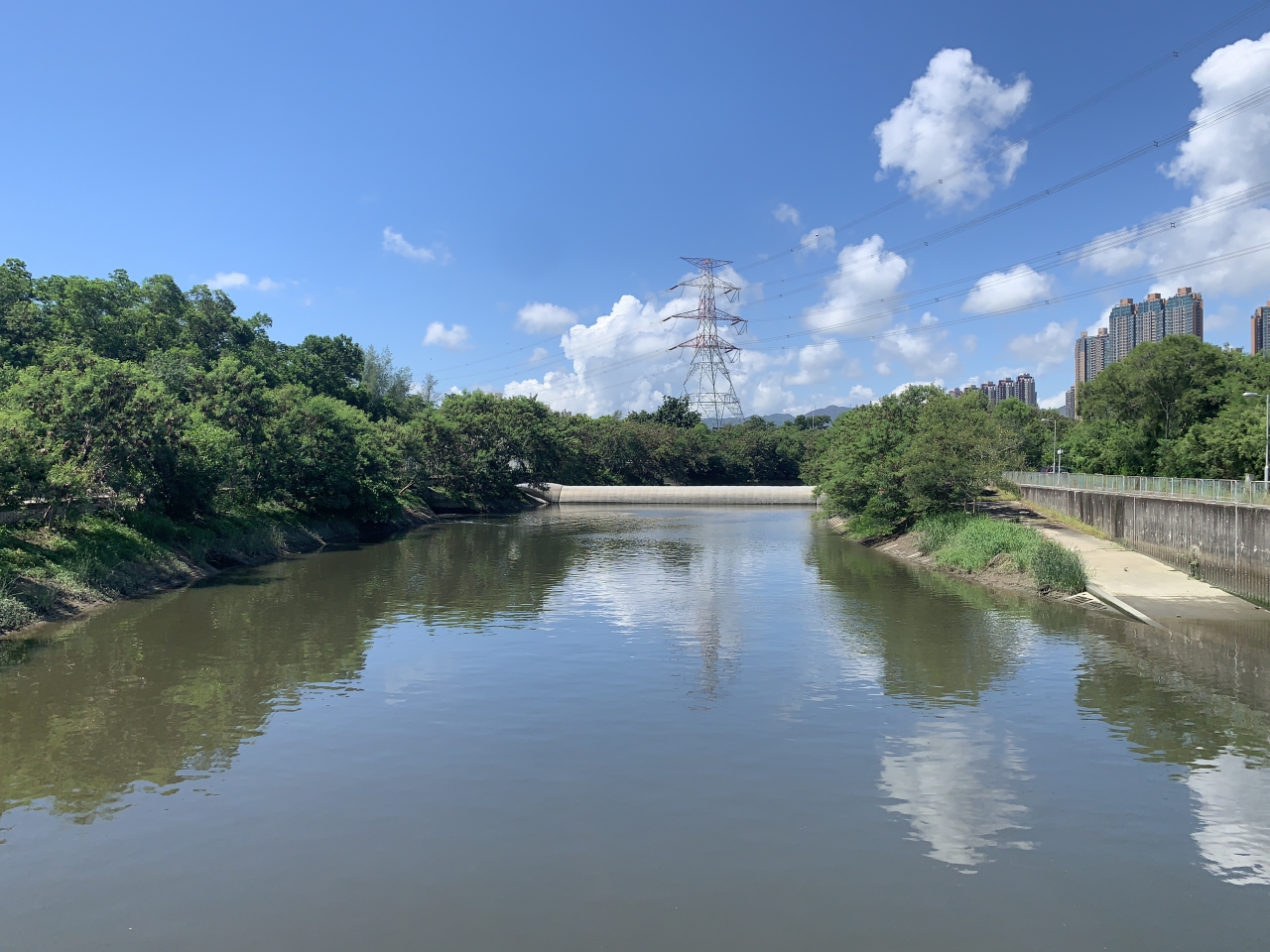
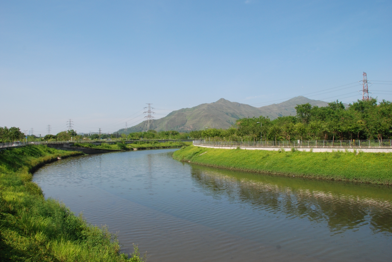
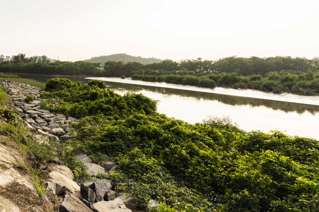
Kam Tin River
As the old Kam Tin River had been flooded for many times and caused serious flooding, which threatened the lives and property of residents living near the river, the Drainage Services Department launched large-scale flood prevention project in the 1990s. The project includes widening and straightening the Kam Tin River starting from the mid-stream, constructing the embankment with concrete and building a new channel of 120 metres wide and 3 kilometres long by excavating some fishponds in the vicinity of Nam Sang Wai. This new channel runs straightly to Shan Pui River and increase the drainage capacity of Kam Tin River.
River training works for Kam Tin River was completed in the 2000s. At present, the Kam Tin River has become a drainage channel with a total length of about 50 kilometers, and the catchment area is about 44.3 square kilometers. The downstream of Kam Tin River is merged with Yuen Long Bypass Floodway and the drainage channel from Ngau Tam Mei area.
In order to integrate the construction works with the surrounding landscape and conserve the natural habitat, the Drainage Services Department has introduced environmental friendly design into the project, including the preservation of the natural river bed at downstream, laying rip rap embankment (random rubbles forming side-slop), planting shrubs, trees and more than 120,000 mangrove seedlings alongside embankment.
Kam Tin River (360° View)
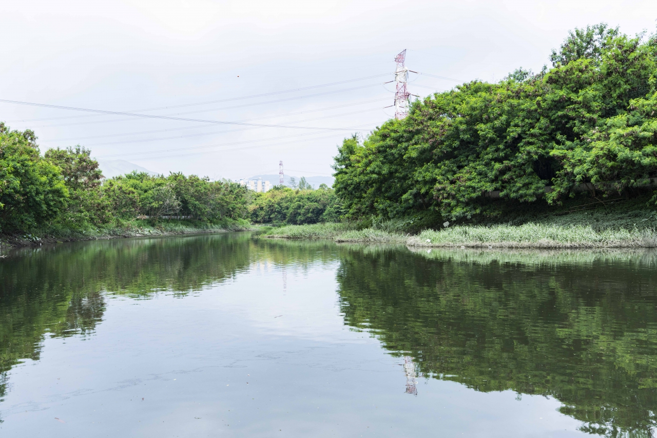
Nam Sang Wai Kam Tin River Estuary (360° View)
Laying Rip Rap Embankment and Planting Mangrove Seedlings
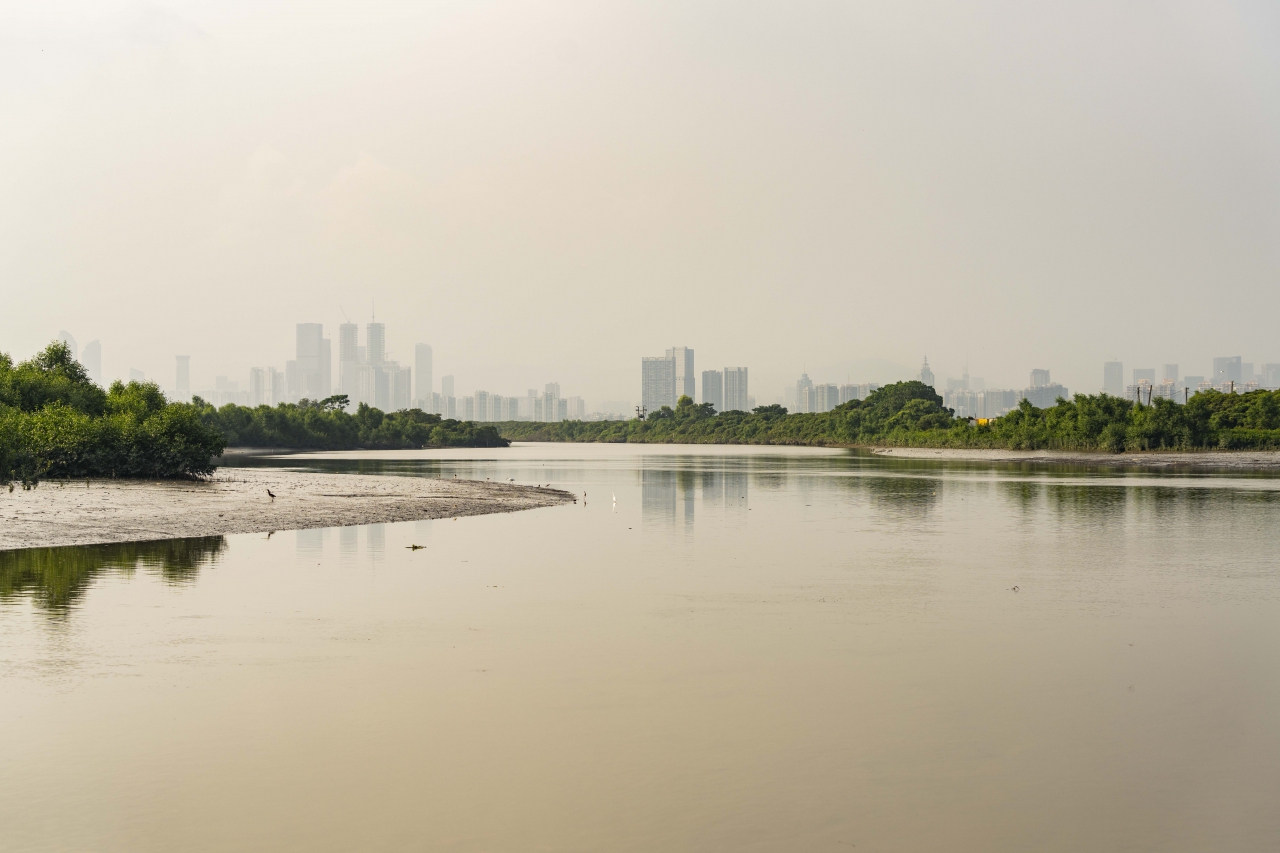
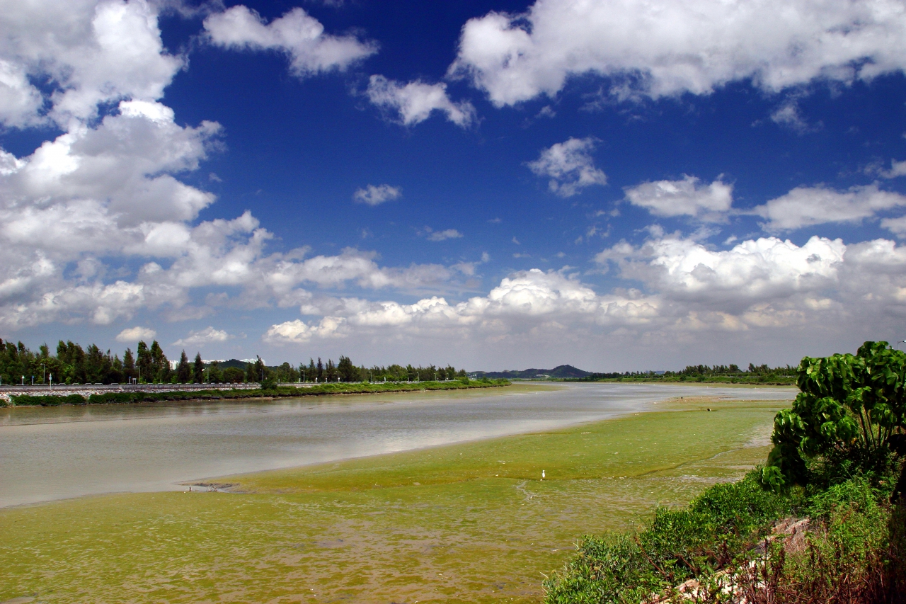
Nam Sang Wai Kam Tin River Estuary
Nam Sang Wai Kam Tin River Estuary
Nam Sang Wai Kam Tin River Estuary
Nam Sang Wai Kam Tin River Estuary
Nam Sang Wai Kam Tin River Estuary

Nam Sang Wai Kam Tin River Estuary
Schools and relevant organisations are welcome to visit San Tin Stormwater Pumping Station and Yuen Long Bypass Floodway through prior application. For details, please visit the following website:
For details about San Tin Stormwater Pumping Station and Yuen Long Bypass Floodway, please visit the following website:
Website of Visit to San Tin Stormwater Pumping Station and Yuen Long Bypass Floodway
San Tin Stormwater Pumping Station and San Tin Polder Monograph
Leaflet of Village Flood Protection Scheme